


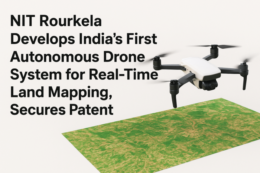
In a major breakthrough for India’s rising technological innovation landscape, the National Institute of Technology (NIT) Rourkela has developed the country’s first fully autonomous drone system designed specifically for real-time land mapping and geo-spatial analysis. This pioneering system, created by a multidisciplinary team of researchers, has officially secured a patent, highlighting the institute’s significant contribution to India’s aerospace and surveying technology sector.
The autonomous drone system is capable of mapping vast land areas with high precision, eliminating the need for manual intervention during flight. Unlike conventional drones that require active human control, NIT Rourkela’s innovation features advanced onboard intelligence that allows it to pre-plan routes, navigate difficult terrain, avoid obstacles, and generate live mapping outputs during flight. This makes it ideal for critical applications such as urban planning, disaster management, agricultural assessment, infrastructure development, and environmental monitoring.
According to the research team, the breakthrough came from integrating artificial intelligence, dynamic flight stabilization, computer vision, and high-speed data processing into a single compact platform. The drone can autonomously take off, conduct large-scale surveys, record geo-tagged data, and return to base—making it a complete end-to-end solution. The real-time mapping capability allows government agencies and private organizations to visualize terrain changes instantly, enabling faster decision-making and improved accuracy across sectors.
One of the standout features of the system is its ability to generate high-resolution 2D and 3D maps on the fly. These maps can be directly used for land demarcation, smart city planning, and monitoring changes in landscapes affected by mining or deforestation. In regions prone to natural disasters such as floods and cyclones, the drone can quickly survey affected zones and transmit live data to response teams, improving rescue and relief operations.
The patented technology includes an innovative algorithm that optimizes flight paths to ensure maximum area coverage with minimal battery consumption. The system also incorporates advanced obstacle detection and weather adaptation features, allowing it to operate safely even in challenging conditions. The research team emphasizes that this innovation aims to reduce India’s dependence on foreign drone technology and support the country’s vision of becoming self-reliant in advanced aerospace solutions.
Speaking about the achievement, institute officials stated that securing the patent is a proud moment not only for NIT Rourkela but also for India’s research community. They added that the next phase of development includes commercial-scale production, integration with more AI-powered analytics tools, and collaboration with government bodies for real-world deployments in land surveying, agriculture, and disaster response operations.
The development has also opened opportunities for students and researchers at NIT Rourkela to engage in cutting-edge drone technology research. With rising global demand for autonomous aerial mapping solutions, this innovation positions India as a competitive player in the global drone technology ecosystem.
NIT Rourkela’s accomplishment is a strong example of how academic institutions can drive technological advancement and contribute to national growth. As India moves toward smarter infrastructure, sustainable land use, and advanced disaster management systems, indigenous innovations like this autonomous drone mapping system will play a crucial role in shaping the country’s future.